Map of Emneth Norfolk
Street map Emneth Norfolk, a village situated near to Outwell and Upwell.
Emneth Road Map Norfolk England UK
Emneth Road/Street Map Norfolk: We are able to offer this Emneth road map, thanks to Google Maps. You should find it useful on a trip to the village of Emneth in Norfolk, England. Click & drag Emneth map, to move around the area, hit the "Sat" square bottom left for a Emneth satellite map. Use "+" to get street map of Emneth village centre, and use "-" to pan out and see places around Emneth, Norfolk. Use link, top left of Emneth map for Emneth street view.
More Norfolk Maps:
- Street Map of Hevingham Norfolk
- Street Map of Overstrand Norfolk
- Street Map of Acle Norfolk
- Street Map of Ashill Norfolk
- Street Map of Taverham Norfolk
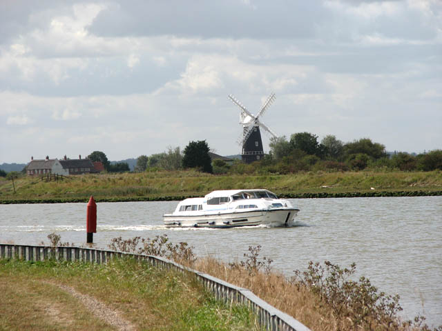
Norfolk Photos courtesy of Commons.Wikimedia


